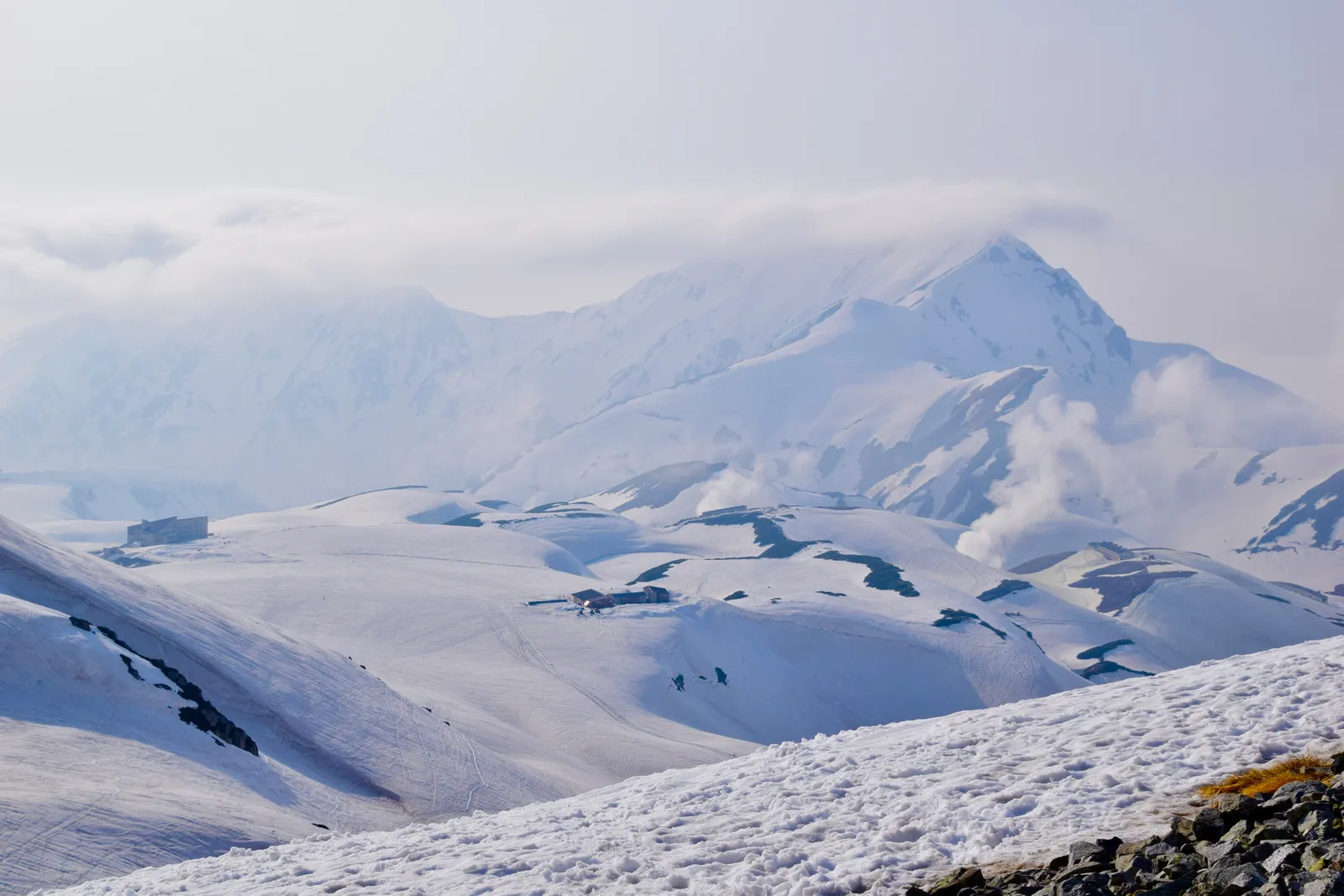
Toyama sits between the soaring 3,000-meter peaks of the Northern Japan Alps and the deep, seafood-rich waters of Toyama Bay, and is best known for the Tateyama Kurobe Alpine Route, where spring snow walls tower up to roughly 20 meters. It also offers UNESCO World Heritage gassho-zukuri villages at Gokayama and renowned coastal hot springs facing the Tateyama mountains.
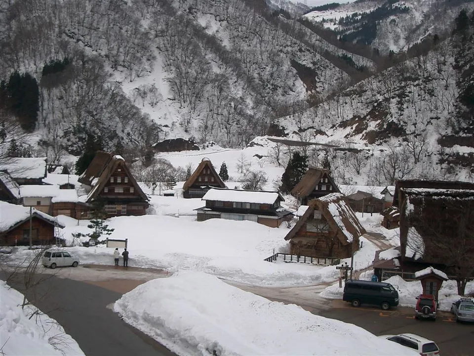
Toyama (富山) prospered from medicine peddlers and shipping; in the mountains, the Gokayama (五箇山) hamlets kept their steep thatched gasshō houses for centuries, now UNESCO-listed.
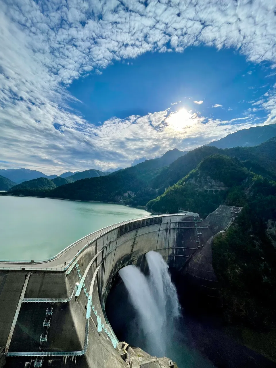
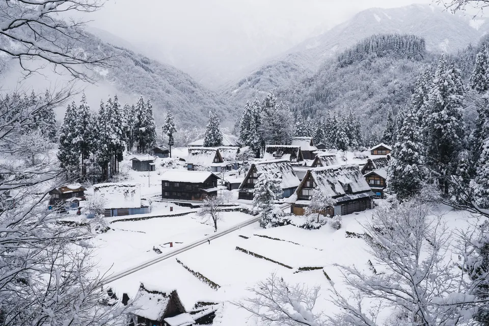
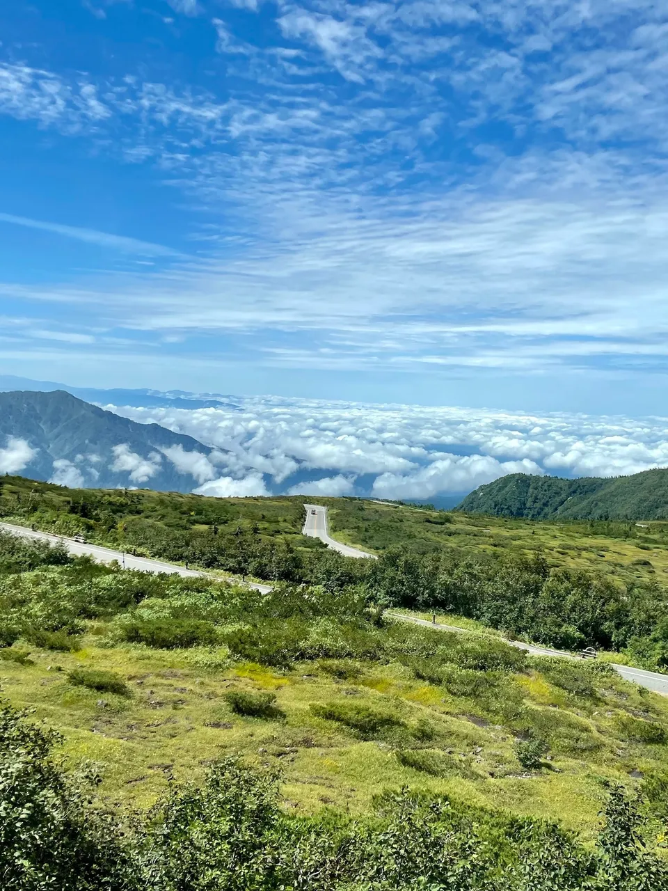
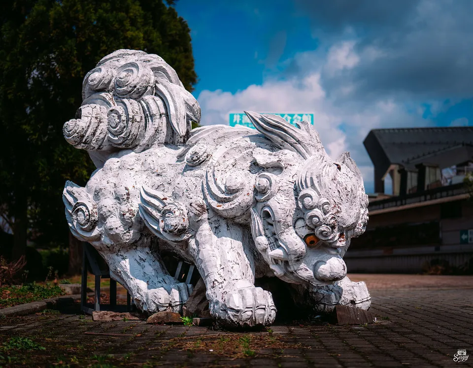
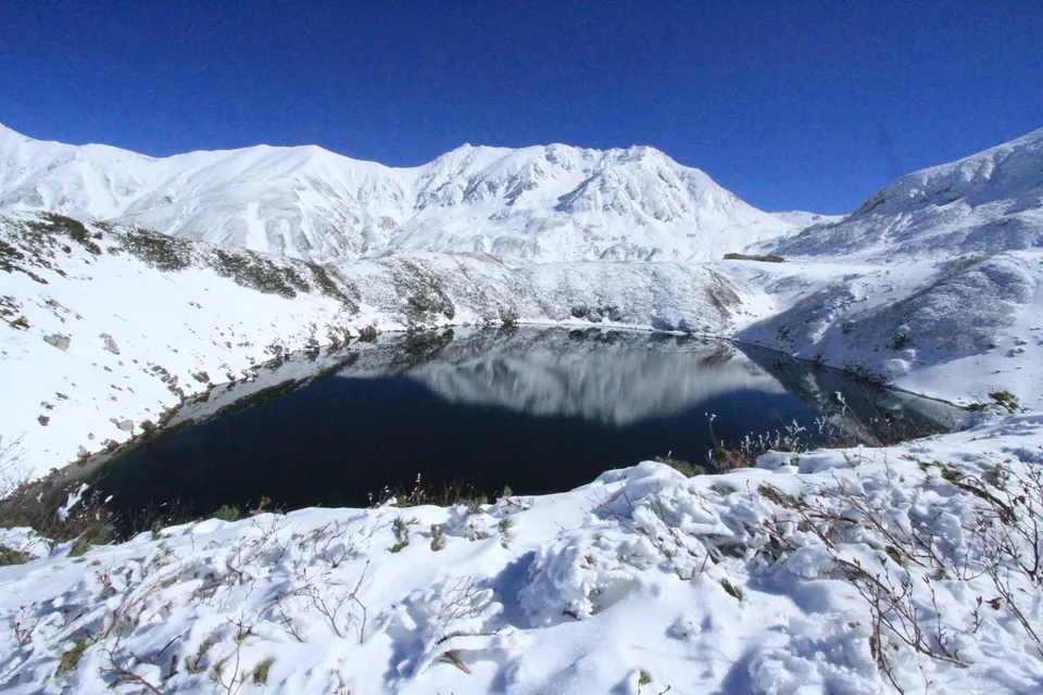
Photos: Kurobe Dam — Yuto via FIND/47, CC BY 4.0 · Gokayama Gassho-zukuri Villages — SHori via FIND/47, CC BY 4.0 · Tateyama Kurobe Alpine Route Snow Corridor — Yuto via FIND/47, CC BY 4.0 · Inami woodcarving town — Sergiy Galyonkin via Flickr, CC BY-SA 2.0
Toyama is ~2h10m from Tokyo by Hokuriku Shinkansen.
 Top pick
 Top pick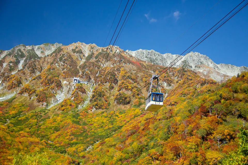
 Must-eat
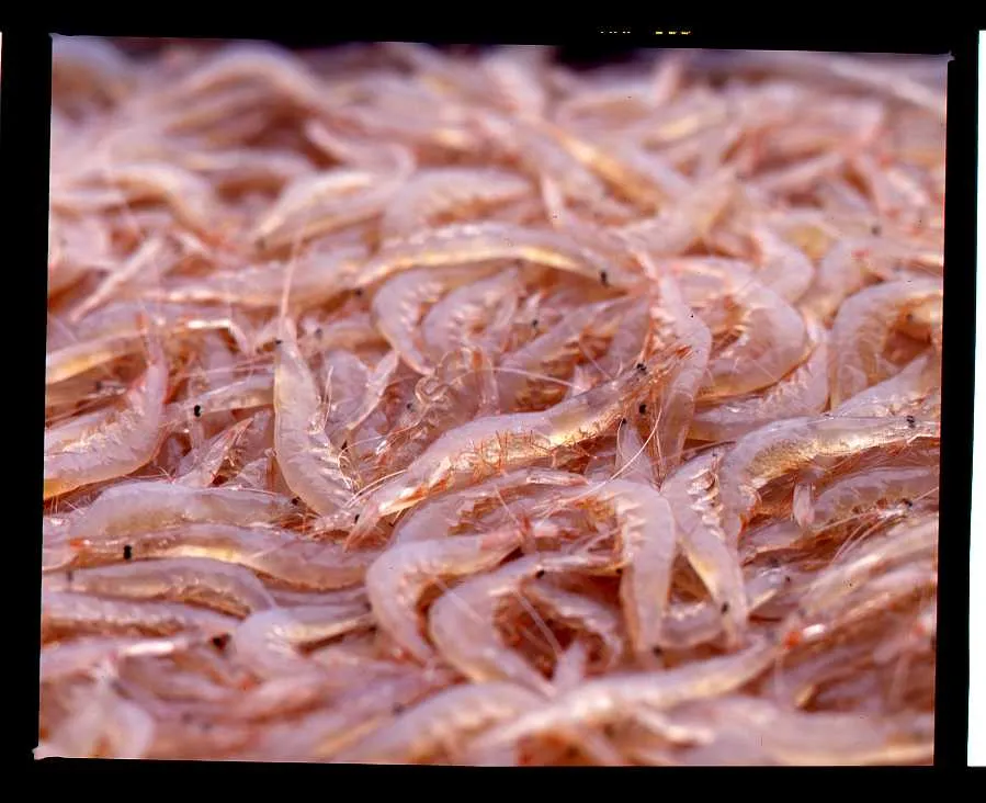
Shiroebi (white shrimp / glass shrimp)
Called the 'Jewel of Toyama Bay'; Toyama Bay is essentially the only place it is caught commercially. Served as sashimi, sushi or kakiage tempura, prized for…
 Must-eat
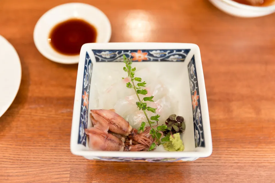
Hotaru-ika (firefly squid)
The 'Mystery of Toyama Bay' - tiny squid that glow blue-white, caught mainly off Namerikawa in spring. Classic local preparation is with vinegared miso (sumiso)
Masuzushi (pressed trout sushi)
Edo-period local specialty: salt-pickled trout fillet pressed over rice and wrapped in bamboo leaf in a round box. A famous Toyama station bento / souvenir.
Toyama at a glance
Next door
Links marked PR are affiliate links: if you book through them we may earn a commission at no extra cost to you. Photos: Tateyama Kurobe Alpine Route — suzuhiro via FIND/47, CC BY 4.0 · Kurobe Dam — Yuto via FIND/47, CC BY 4.0 · Gokayama Gassho-zukuri Villages — SHori via FIND/47, CC BY 4.0 · Tateyama Kurobe Alpine Route Snow Corridor — Yuto via FIND/47, CC BY 4.0 · Inami woodcarving town — Sergiy Galyonkin via Flickr, CC BY-SA 2.0 · Kurobe Dam — T-KIMURA via FIND/47, CC BY 4.0 · Gokayama Gassho-zukuri Villages — tsuda via Flickr, CC BY-SA 2.0 · Tateyama Kurobe Alpine Route Snow Corridor — inoue1024jpn via FIND/47, CC BY 4.0 · Shiroebi — 0840kenji at Japanese Wikipedia via Wikimedia Commons, CC BY-SA 3.0 · Hotaru-ika — City Foodsters via Flickr, CC BY 2.0. Map: Geolonia (MIT).
